How we study what lies beneath
Studying archaeological sites in intertidal and underwater zones requires a careful and innovative approach. We use a non-invasive methodology that combines, geophysics, geoarchaeology, remote sensing, and digital modeling.
Our goal is to map and analyse the submerged medieval landscape in as much detail as possible, without disturbing the fragile remains buried in the sediment, and with respect to the natural environment.


Project Workflow
This diagram shows how our methods are distributed across different parts of the coastal landscape. From land-based surveys to underwater sonar, each work package is linked to specific techniques, zones, and expertise. The diagram also highlights the collaboration between Ghent University, Christian-Albrechts-Universität zu Kiel, and the University of Vienna.
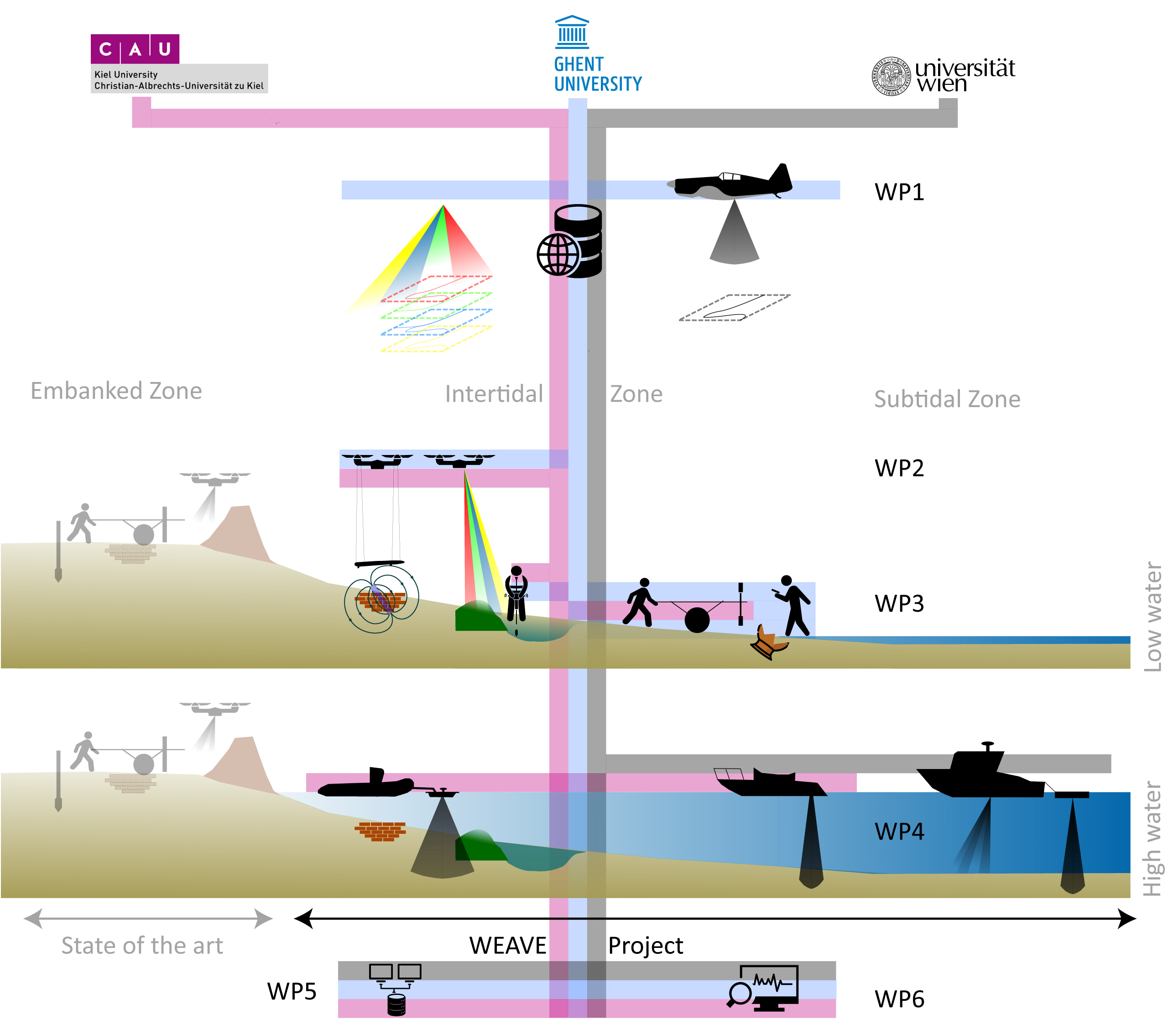

Six Work Packages, one shared goal

WP1 - Legacy Data Integration
We gather and organize existing data: historical aerial photos, maps, LiDAR, bathymetry, archival finds, and geological information. All data are integrated in a central geospatial database.

WP2 - Airborne Survey
We use drones to collect magnetometry data and multispectral imagery during low tide. This provides a first overview of surface features and potential buried structures across the entire project area.

WP3 - Intertidal Survey
Selected zones are explored using ground-based geophysic, boreholes, and fieldwalking. These techniques help us understand buried layers and surface finds without excavation.
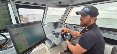
WP4 - Underwater Survey
During high tide, we deploy boat-based sonar systems such as sediment echo-sounders and marine seismics to map what lies beneath the water.

WP5 - Data Integration & Visualization
All datasets are merged into a high-resolution, 3D model of the drowned landscape. This model allows us to interpret both natural and cultural features.

WP6 - Monitoring &
Heritage Managment
We test how existing datasets and repeatable methods can help track erosion and preserve underwater heritage. The results will be used to inform future policy and practice.